Comprehensive Drone Services
From precision inspections to advanced mapping solutions, we deliver actionable aerial intelligence for your most demanding projects.
What We Offer
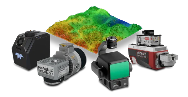
LiDAR & GIS Services
Precision mapping, terrain modeling, and geospatial analysis for complex project requirements.
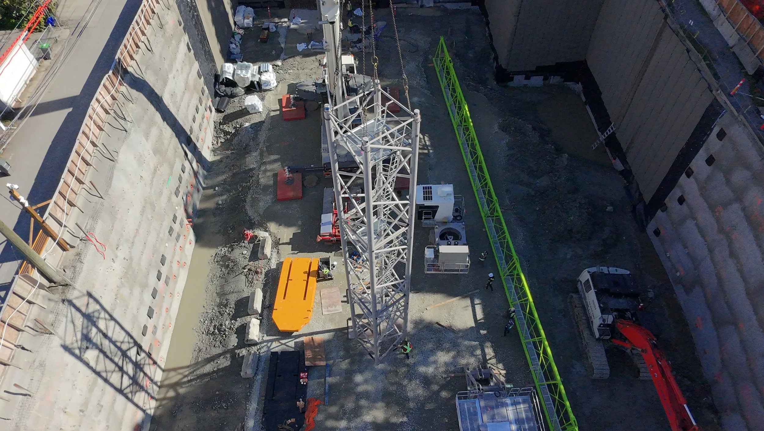
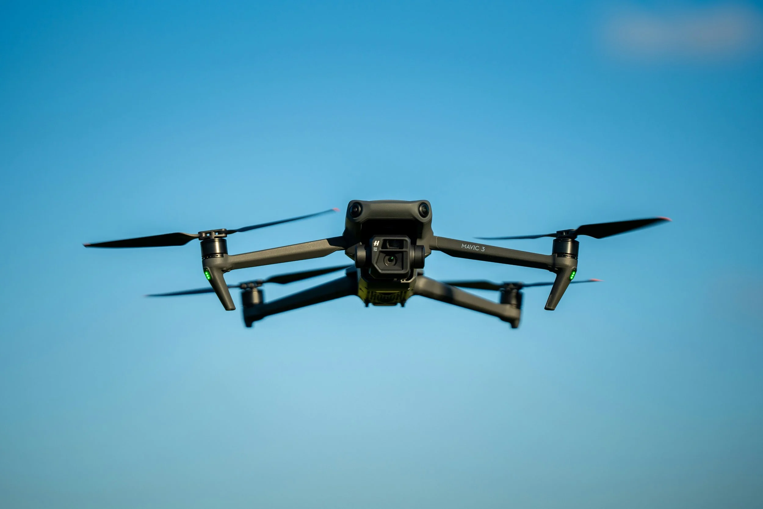
Aerial Imagery
High-resolution orthomosaics, 3D models, and thermal imaging for construction and infrastructure.
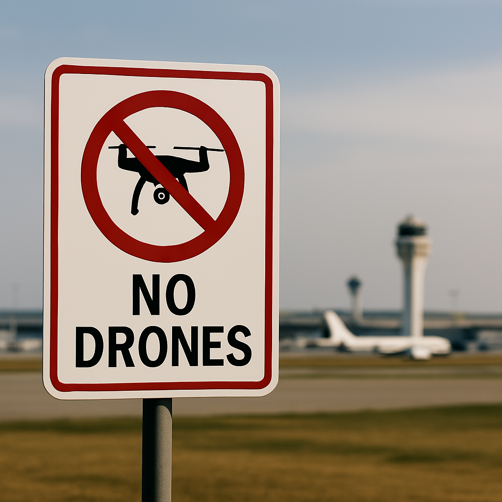
Counter-Drone Solutions
Expert consultation and installation of detection and mitigation systems for airspace security..
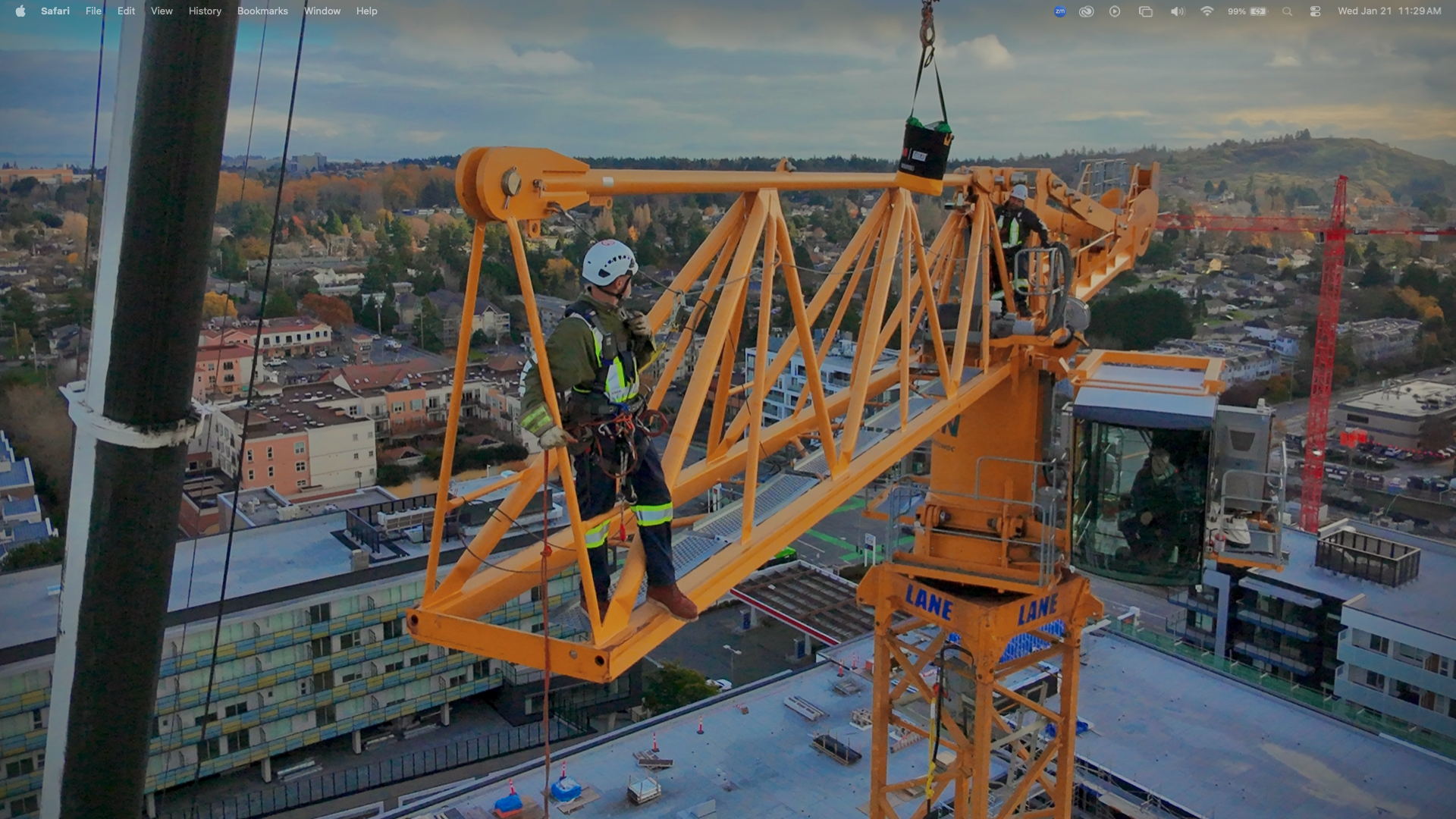
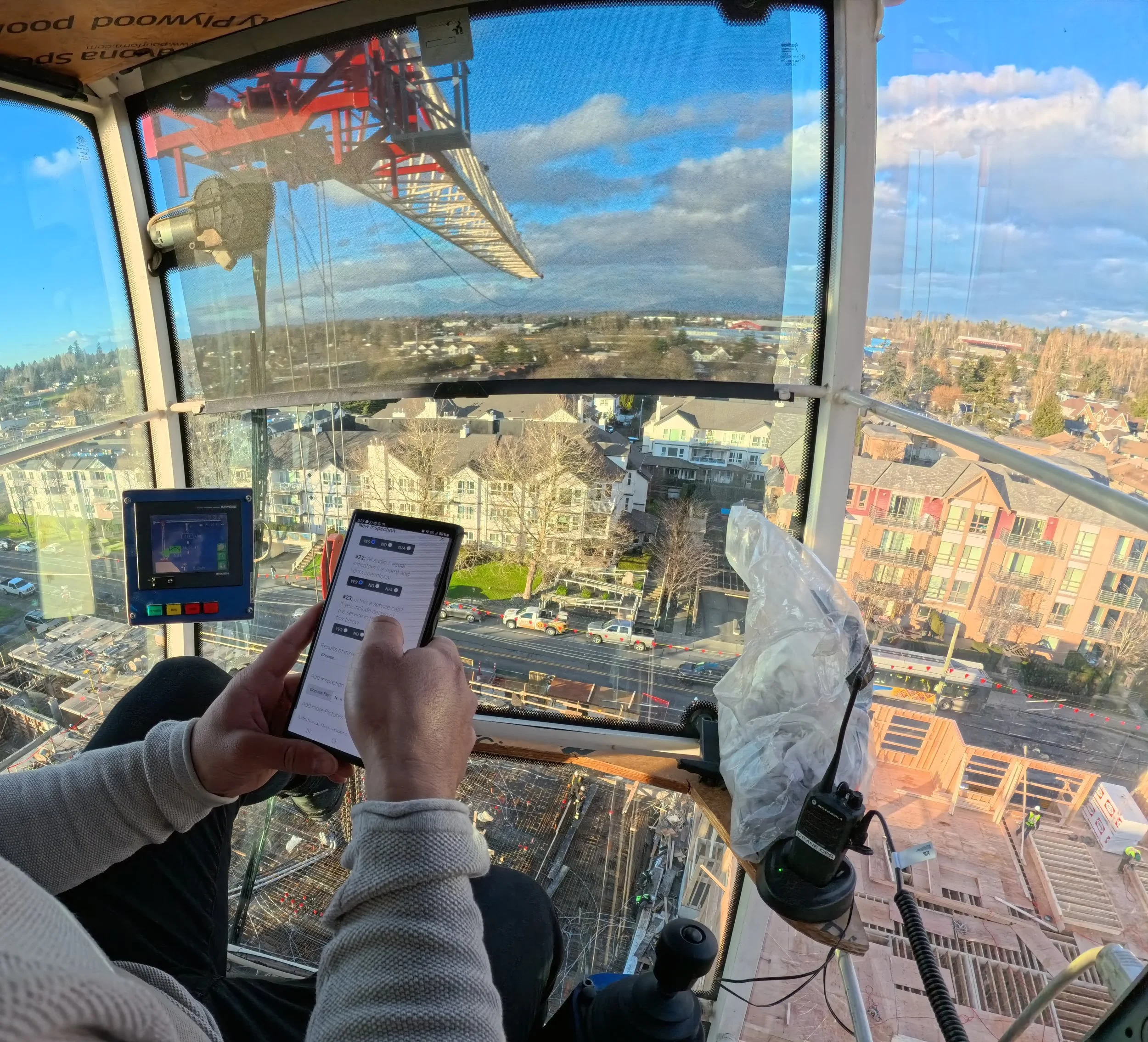
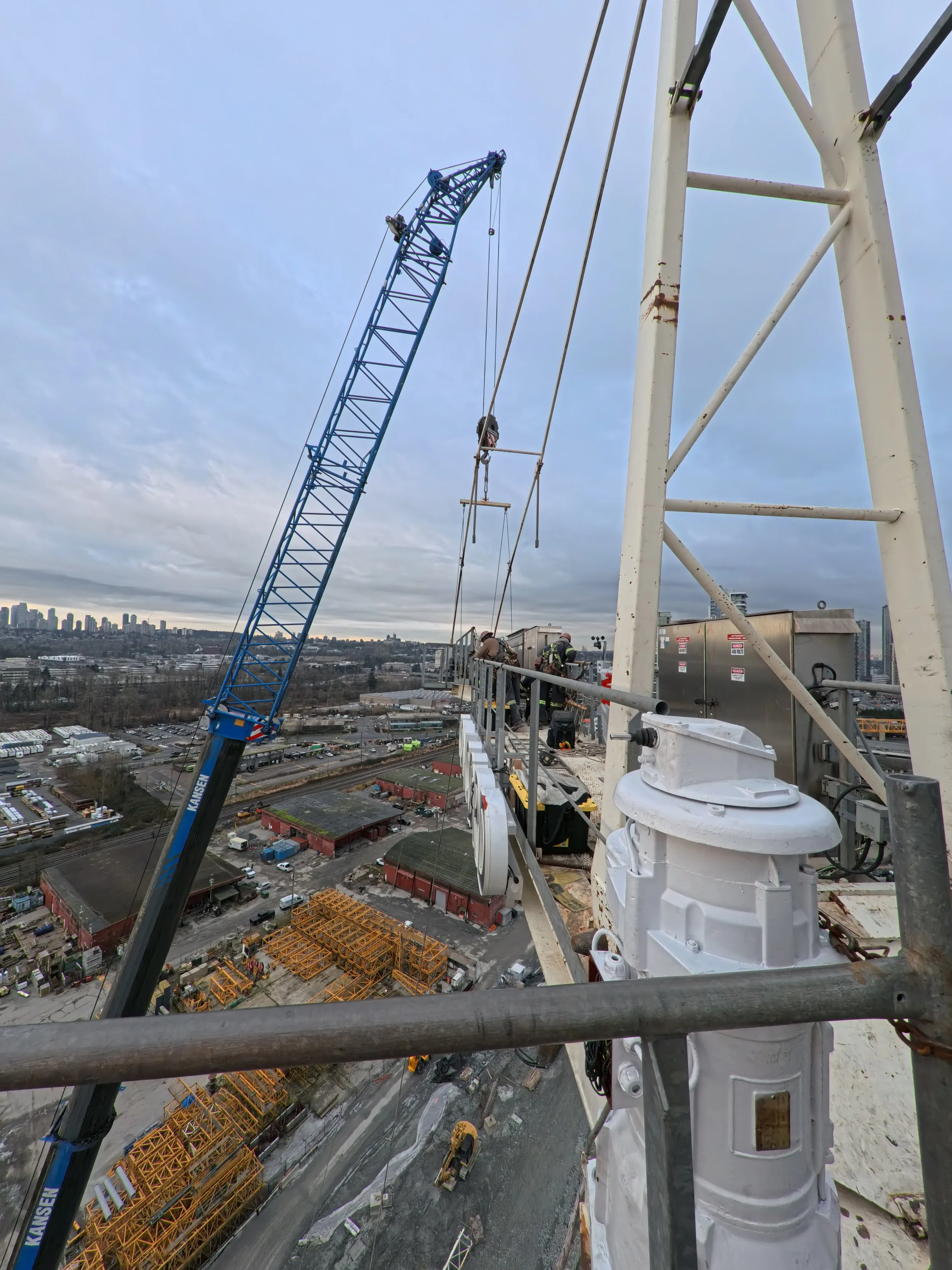
Crane Inspection
Comprehensive drone-based structural assessments of tower cranes, gantry cranes, and overhead systems.
“The LiDAR mapping accuracy was exceptional. We've made them our go-to partner for all aerial surveying needs.”
Sarah Chen - Project Manager
Follow Us on Social